RIVERS
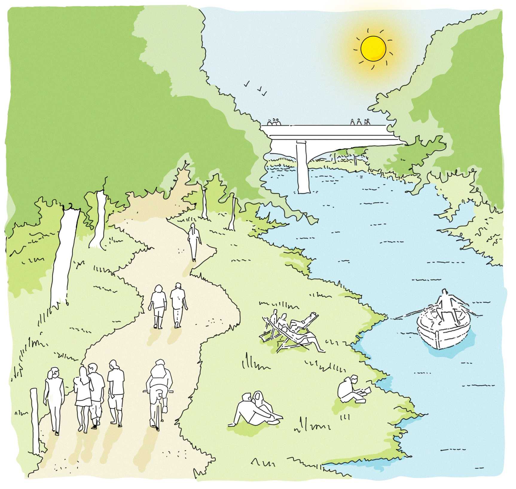
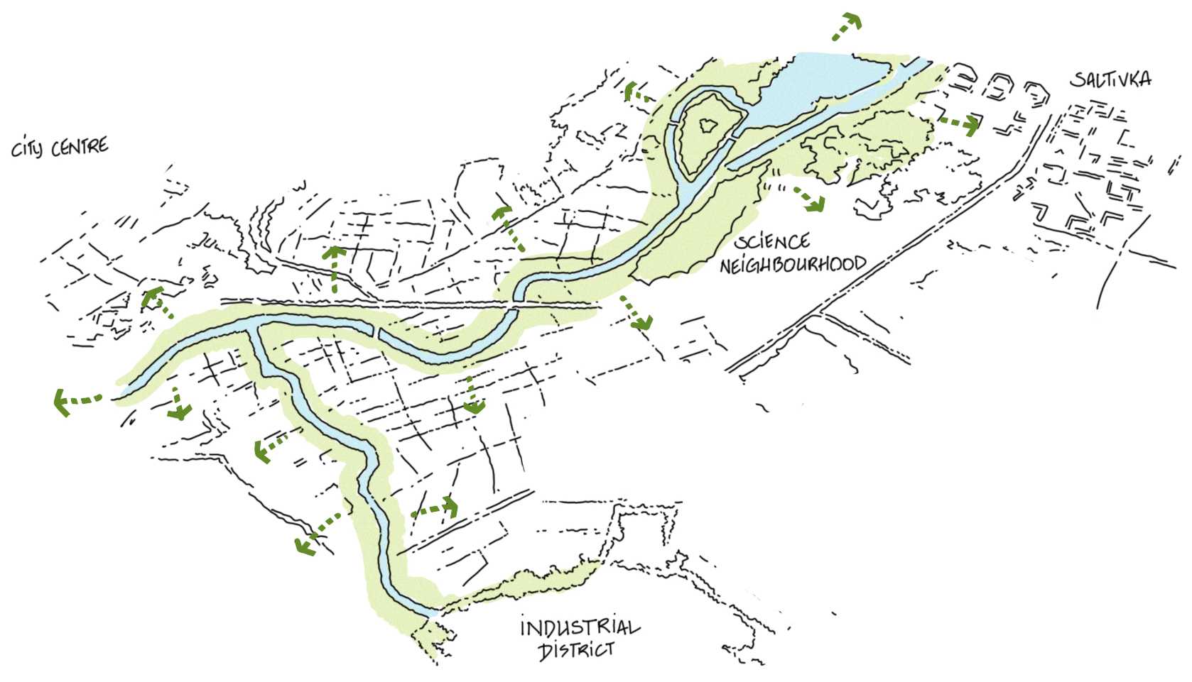
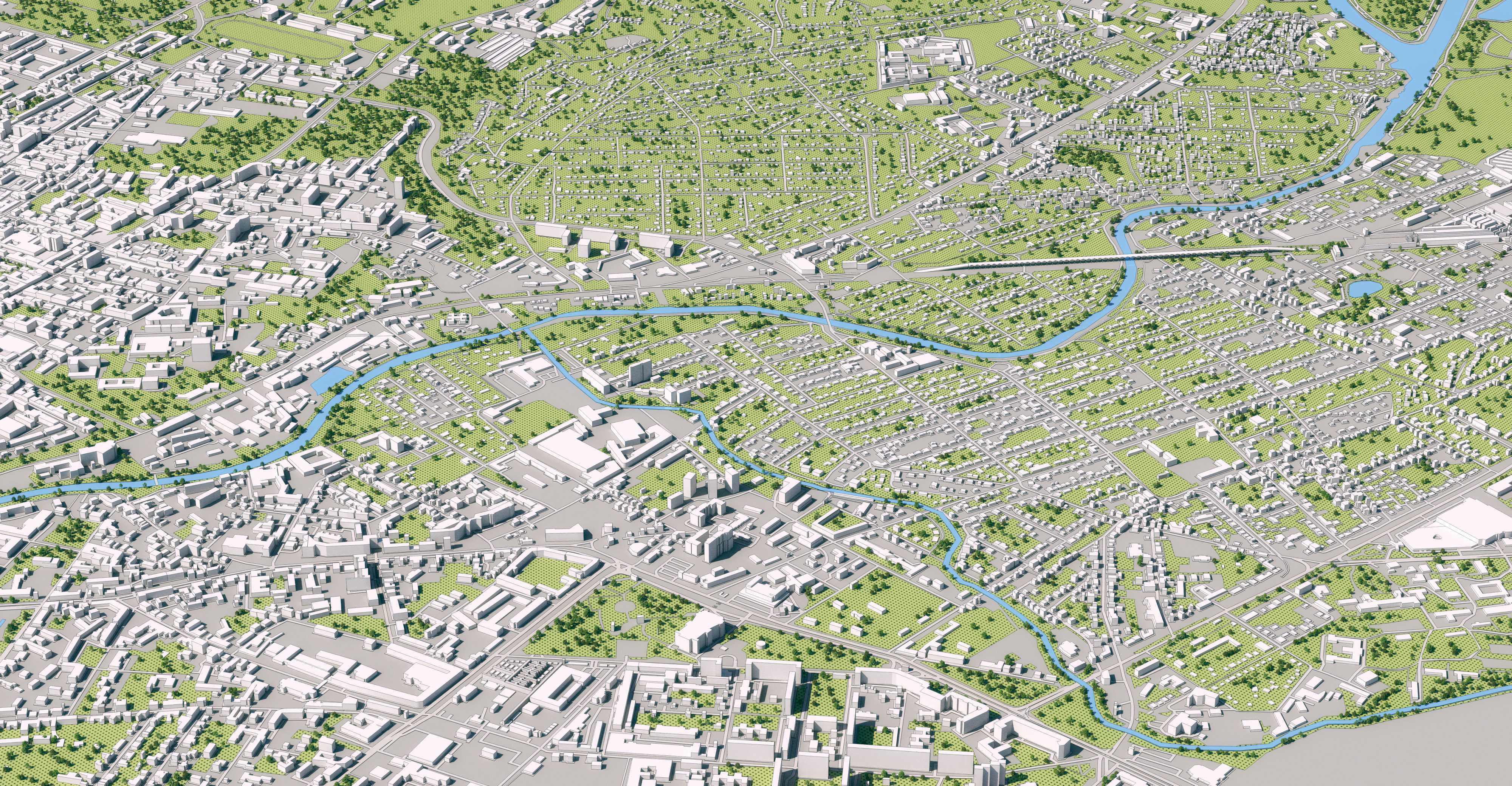
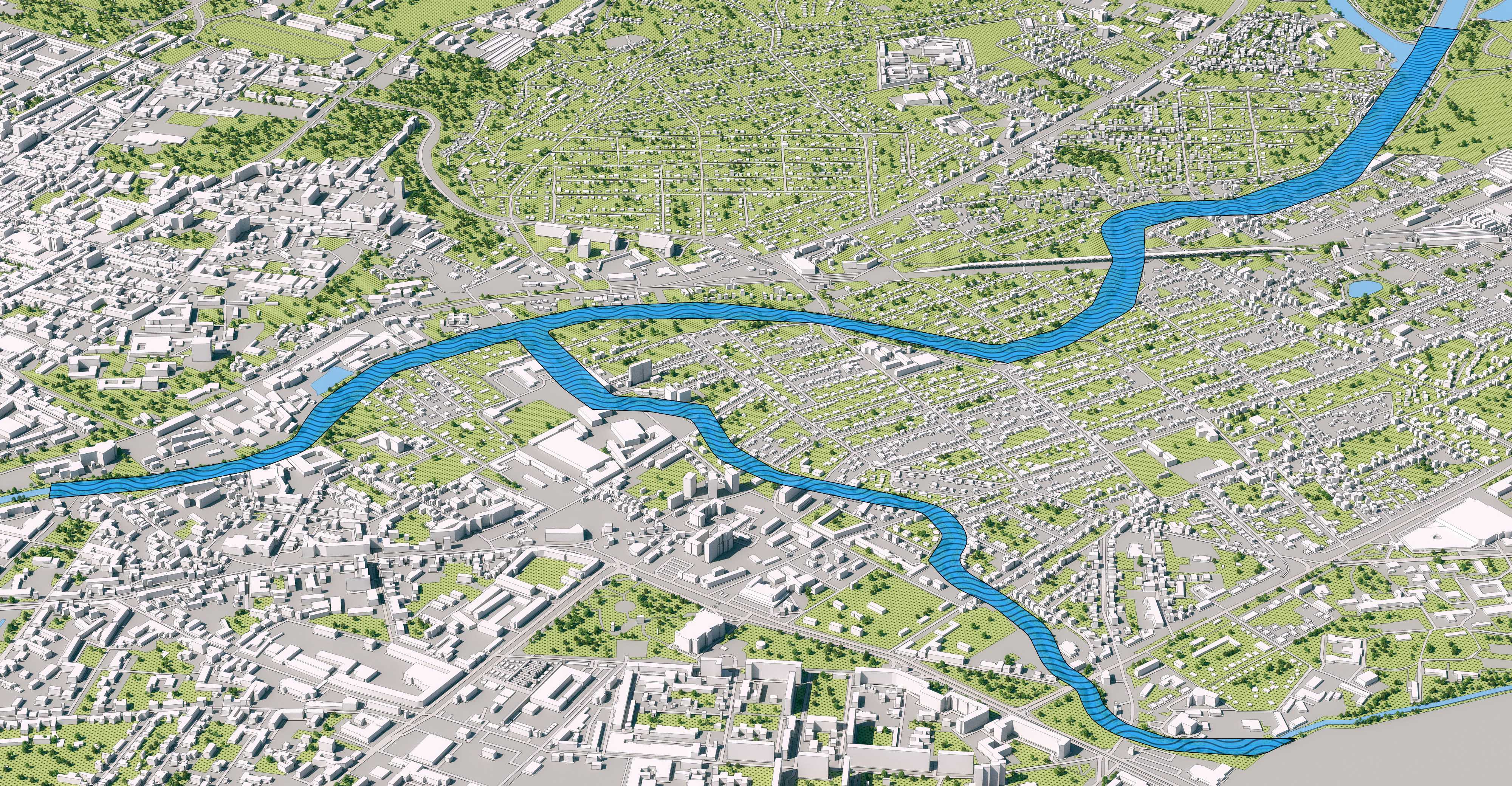
The masterplan will transform a 6km long strip between the Kharkiv and Nemyshlya rivers into an ecological, pedestrian, and biking connector that will evolve into a city-wide mobility network.
Location
About the project
This waterway connector provides a unique opportunity to link the city centre, Saltivka, and the Industrial District.
KM
between the Kharkiv and Nemyshlya rivers
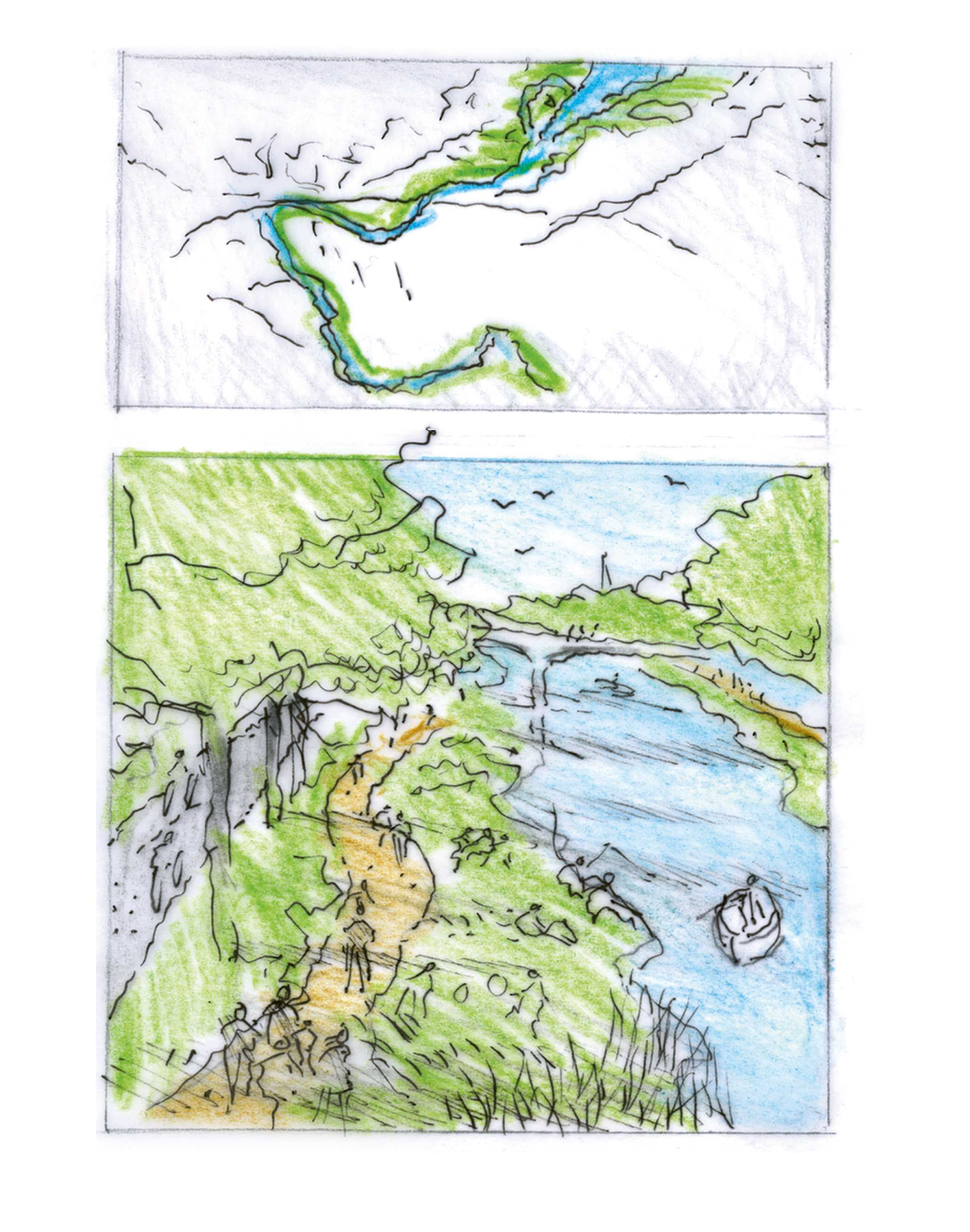
Concept Sketches & Diagrams
Concept Sketches

Design & Production
Credits
All efforts were made by the Kharkiv City Council and its affiliates to trace the rights holders. Where the rights holders are not indexed or noted within, copyright and trademarks reside with the holders, where such rights to intellectual property exist
Copyright 2025 © Kharkiv City Council, © Norman Foster Foundation, © DBOX. All rights reserved.
